AUSTRALIAN-DESIGNED SURVEY SOFTWARE
GUIDEMATE SURVEY SOFTWARE
One connected field platform for GNSS, Total Stations, and machine control workflows.
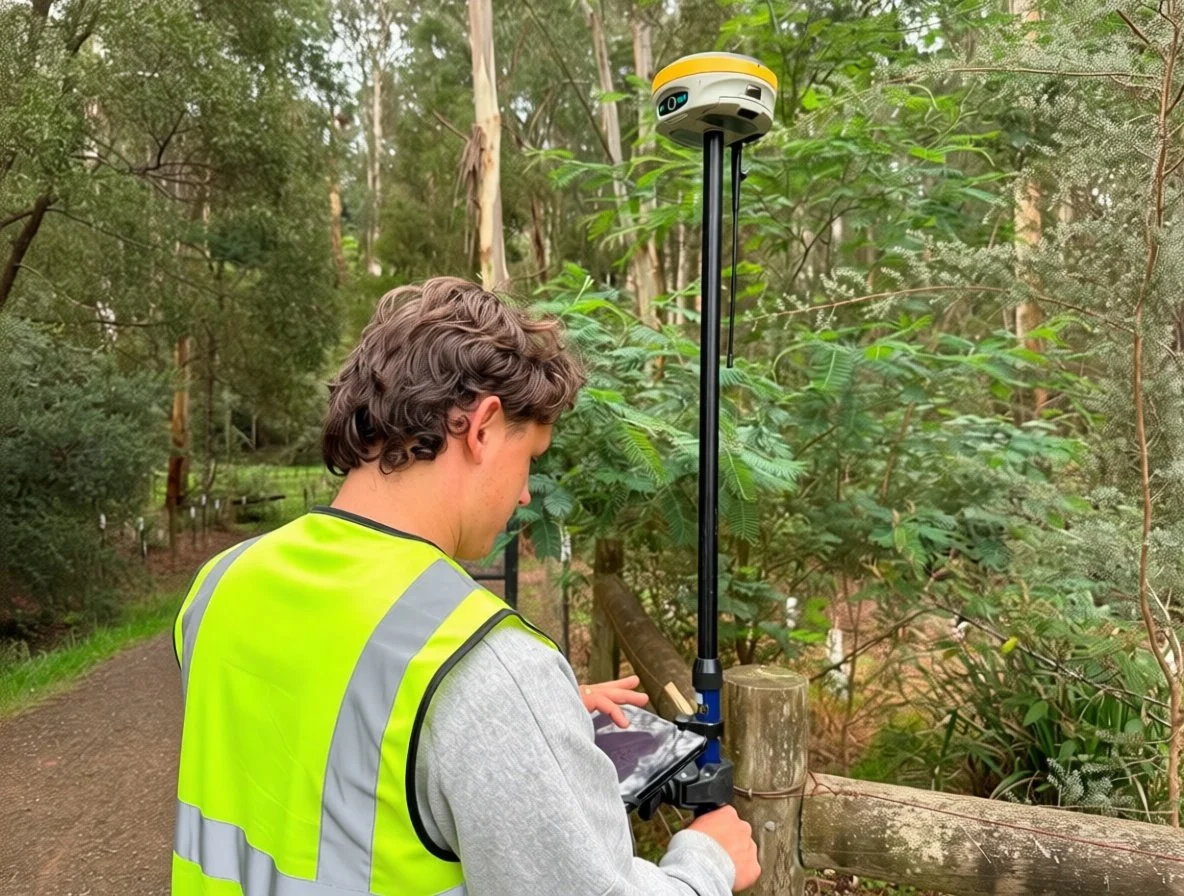
Designed for construction surveyors and site crews, Guidemate simplifies project setup, stakeout, data collection, and as-built verification in one intuitive software solution.
GUIDEMATE SURVEY SOFTWARE
Guidemate Survey Software is a powerful field platform built for construction surveying, site setout, and as-built data collection.
Designed to support GNSS receivers and robotic Total Stations in a single connected workflow, Guidemate helps crews move efficiently from project setup through to final delivery without switching between applications.
Developed in Australia for real construction environments, Guidemate combines fast project setup, intuitive field tools, and reliable connectivity to keep surveyors productive on every job site.
Key Highlights
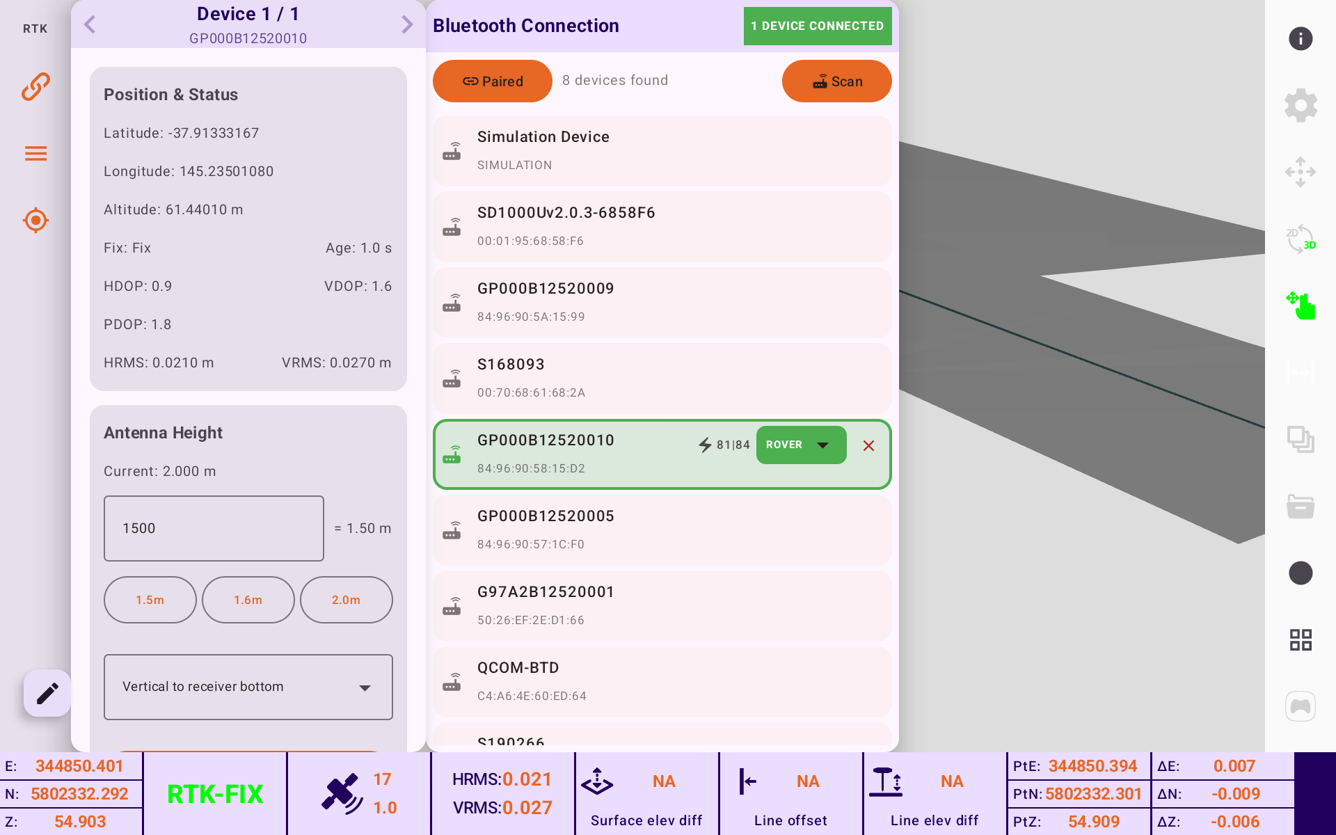
GNSS and Total Station support in one platform
Fast project setup and device connection
Construction setout and stakeout workflows
Efficient feature coding and as-built data capture
Compatible with mixed equipment fleets
Developed in Australia for construction surveyors
HOW GUIDEMATE WORKS
A SIMPLE WORKFLOW FROM SETUP TO AS-BUILT

CREATE YOUR PROJECT
Import design files, establish coordinate systems, and prepare site data for the job ahead.


CONNECT YOUR EQUIPMENT
Quickly connect GNSS receivers or robotic Total Stations using Bluetooth, network, or radio communications.

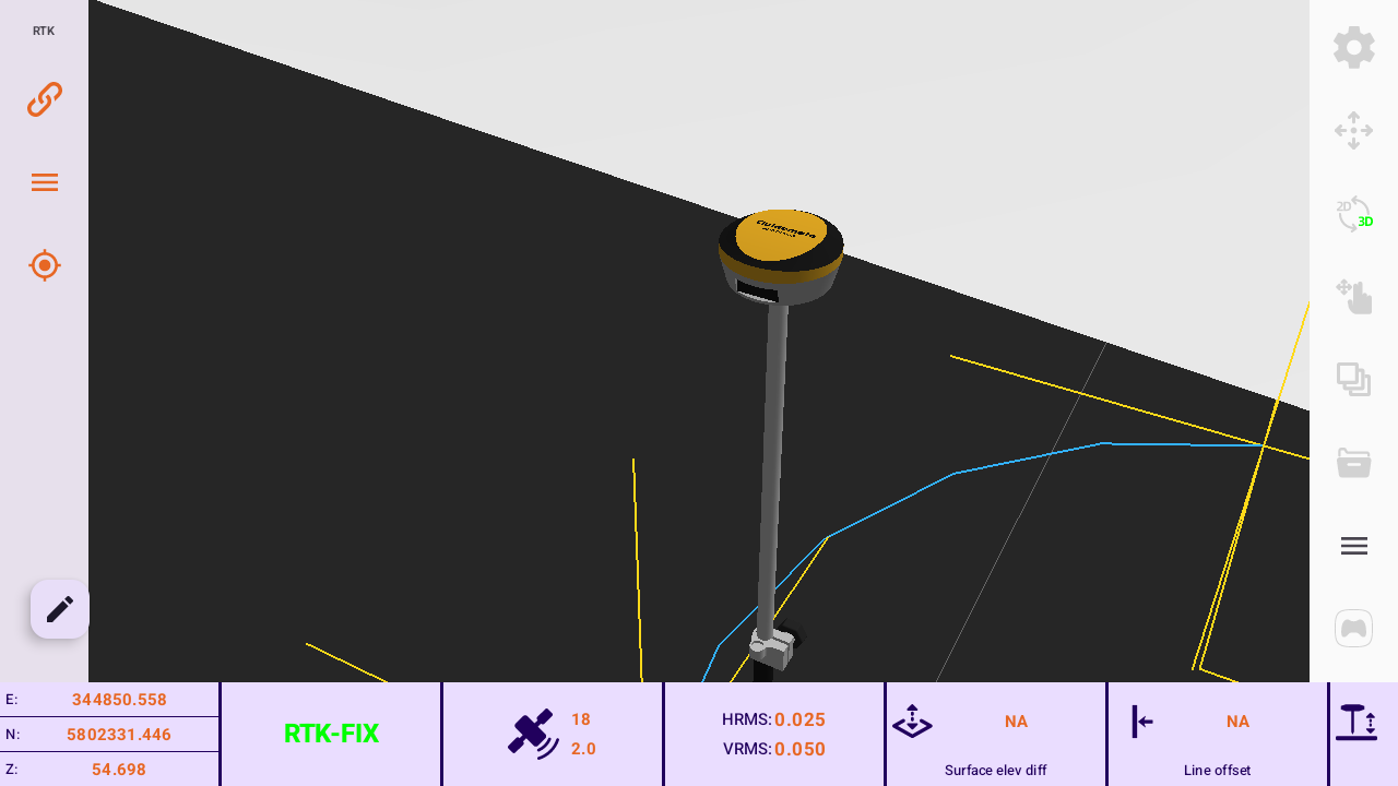
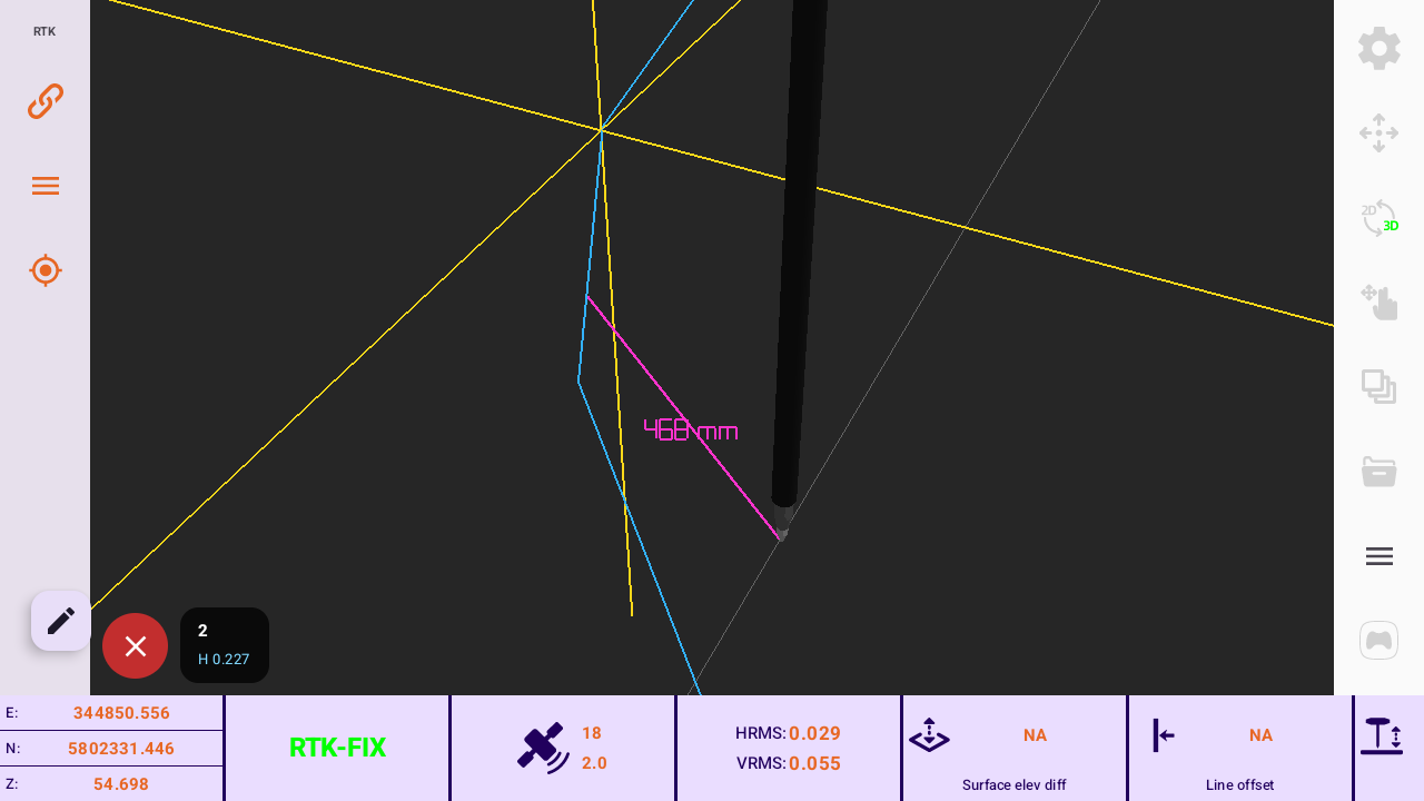
MEASURE & STAKEOUT
Perform accurate measurements and real-time stakeout with clear guidance for points, lines, and construction layouts.

CAPTURE & EXPORT
Collect as-built information efficiently and export results for reporting, design updates, or machine control workflows.
WHERE GUIDEMATE WORKS BEST
Construction Setout
Accurate positioning for site establishment, stakeout, and construction layout.
Topographic Surveys
Efficient field data collection for terrain mapping and project planning.
As-Built Verification
Capture accurate site information for compliance and reporting.
Utilities & Drainage
Reliable positioning for underground infrastructure projects.
Machine Control Support
Create and verify data used throughout machine control workflows.
Civil Infrastructure
Support roads, subdivisions, and large-scale construction projects.

NEED SURVEY SOFTWARE THAT WORKS THE WAY YOU DO?
TALK TO THE GUIDEMATE TEAM
Guidemate Survey Software is built for construction surveying, setout, as-built verification, and machine control workflows.
Whether you're upgrading existing equipment or building a complete survey solution, our team can help you find the right setup for your business.