MACHINE CONTROL SYSTEMS FOR EXCAVATORS, DOZERS, GRADERS & MORE
Explore Guidemate's range of Australian-designed 2D and 3D machine control systems built for real operators and real job sites.
AUSTRALIAN-DESIGNED MACHINE CONTROL
WHY CONTRACTORS CHOOSE GUIDEMATE MACHINE CONTROL
Guidemate develops advanced 2D and 3D machine control systems for excavators, dozers, graders, skid steers, and other construction machinery. Designed and developed in Australia, our solutions combine proprietary software, advanced GNSS technology, and machine control expertise to help contractors improve accuracy, reduce rework, increase productivity, and deliver better project outcomes.
From simple machine guidance systems through to fully automated 3D machine control and bespoke automation projects, Guidemate provides reliable technology built to perform in demanding construction, earthmoving, mining, and civil environments.
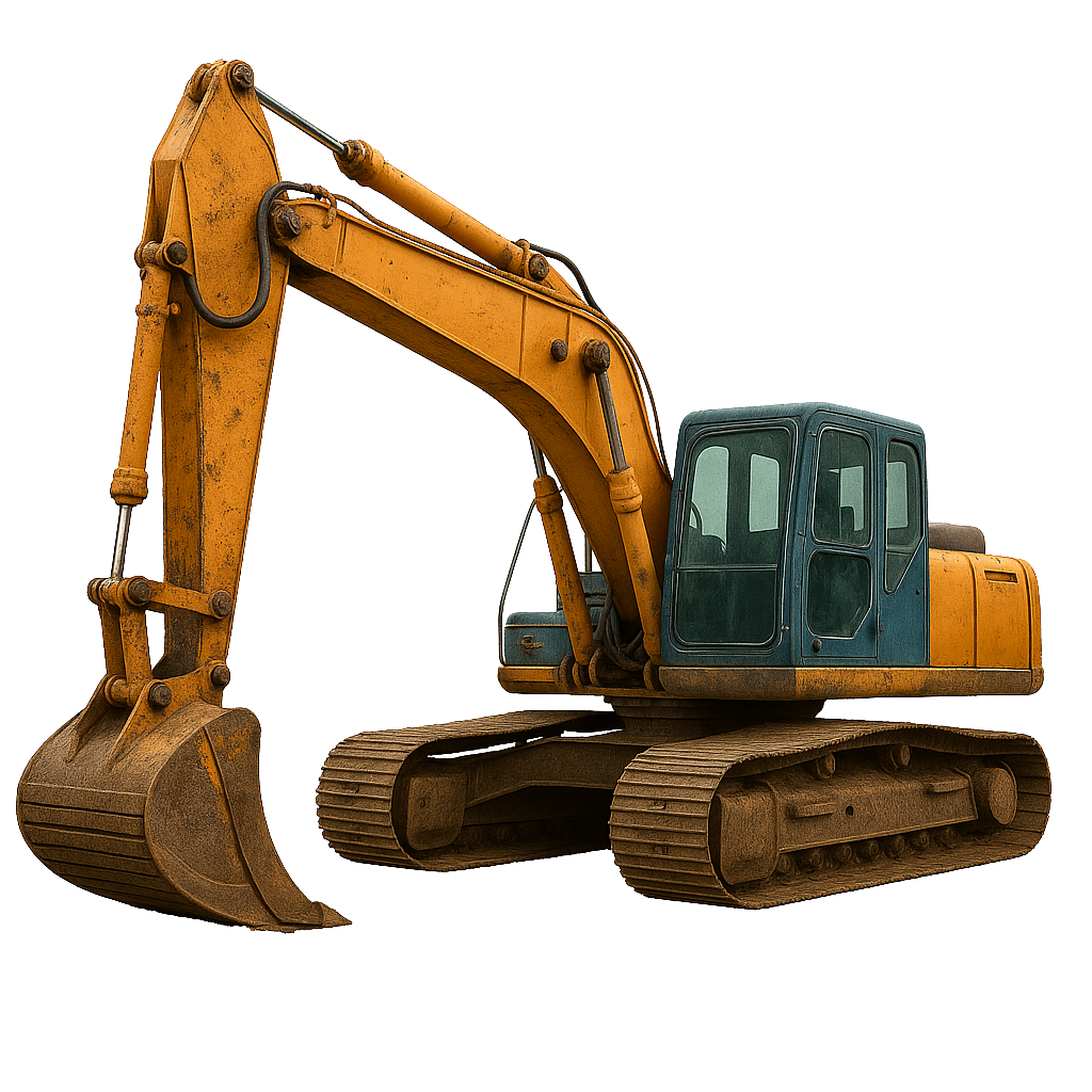
Guidemate X-TRACK 3D EXCAVATOR CONTROL SYSTEM
The Guidemate X-Track 3D Excavator Control System combines high-precision GNSS positioning and digital terrain models to deliver accurate real-time excavation guidance. Reduce rework, minimise survey staking, and achieve design grades faster with live cut and fill information displayed directly in the cab.
Guidemate X-TRACK 2D ADVANCED EXCAVATOR CONTROL SYSTEM
The Guidemate X-Track 2D Advanced Excavator Control System combines advanced 2D guidance with GNSS heading technology for improved machine awareness and dual-grade functionality. Designed for contractors who need greater capability than standard 2D systems, it delivers accurate excavation guidance without the complexity of full 3D machine control.

Guidemate X-TRACK 2D EXCAVATOR CONTROL SYSTEM
The Guidemate X-Track 2D Excavator Control System provides accurate depth, elevation, and slope guidance using advanced boom and bucket sensors. Reduce overcutting, minimise material waste, and improve excavation accuracy across trenching, drainage, foundations, and general earthworks applications.
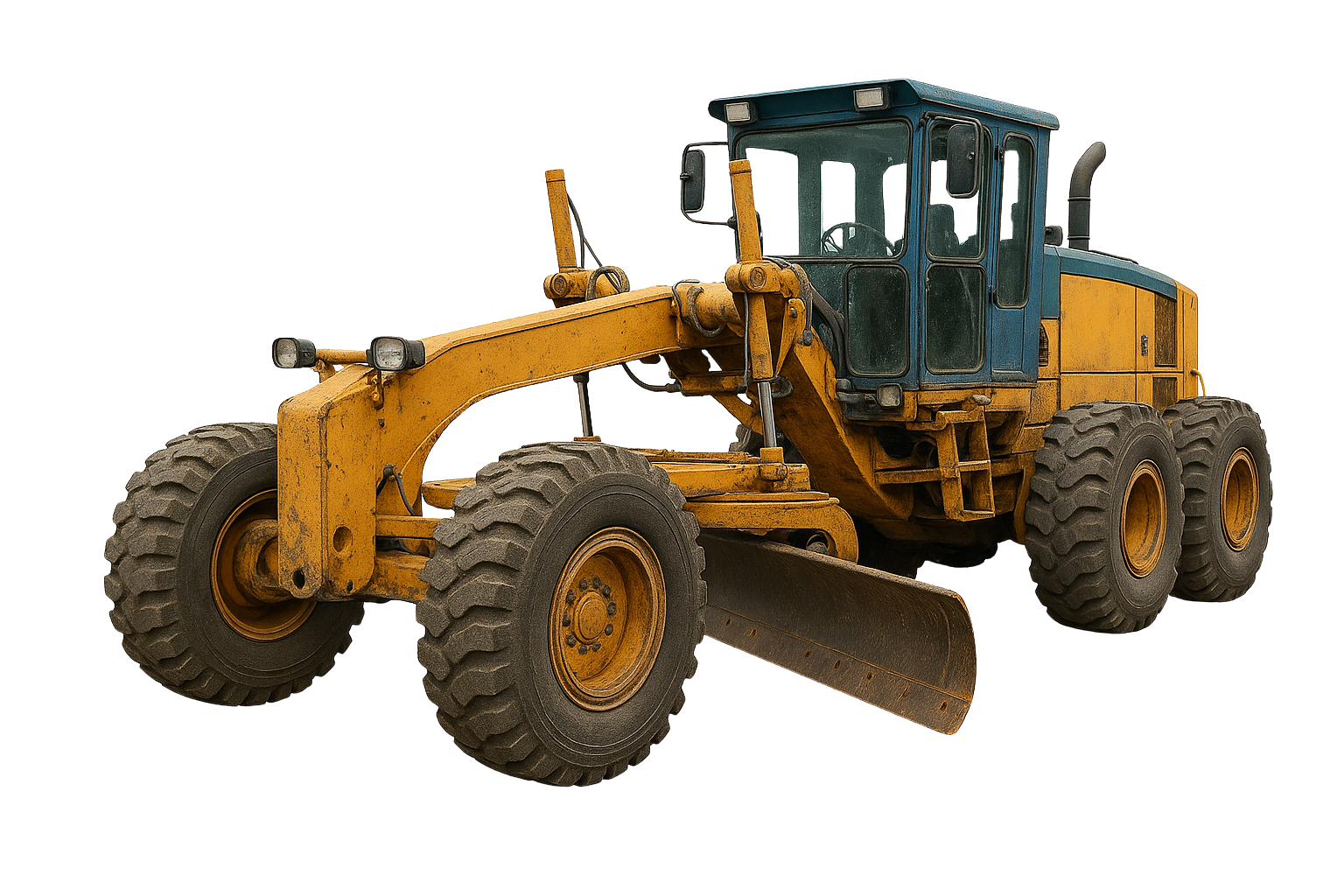
Guidemate g-TRACK 3D GRADER CONTROL SYSTEM
The Guidemate G-Track 3D Grader Control System provides precise blade positioning and automatic grade control using advanced GNSS technology and digital design models. Deliver smoother surfaces, reduce rework, and improve productivity across road construction, subdivisions, mining projects, and large-scale civil works.
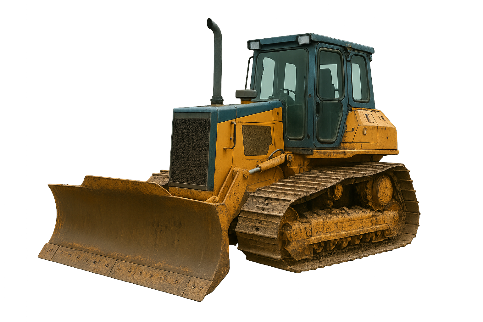
Guidemate d-TRACK 3D DOZER CONTROL SYSTEM
The Guidemate D-Track 3D Dozer Control System uses high-accuracy GNSS positioning and digital design models to automate blade control and improve grading accuracy. Designed for bulk earthworks, pad construction, roadworks, and mining applications, it helps operators achieve final grades faster while reducing material movement and rework.
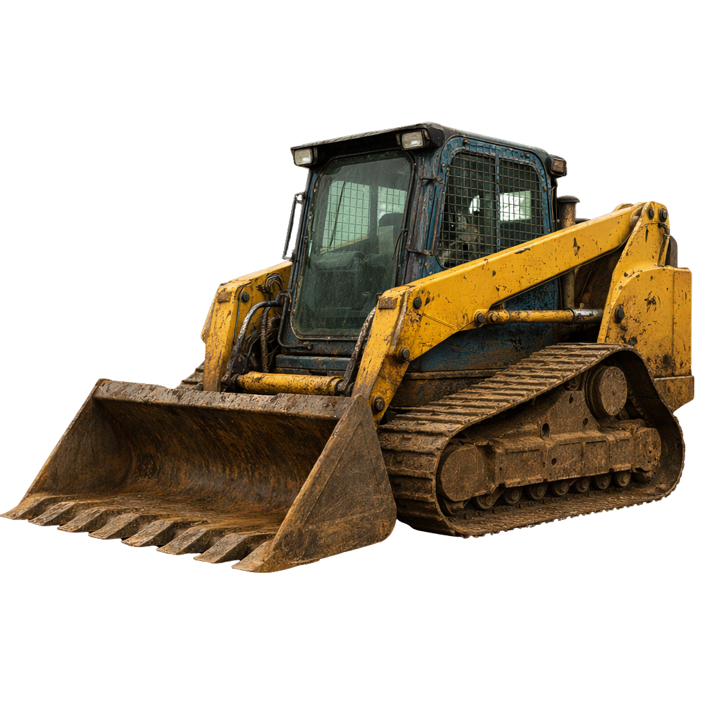
Guidemate c-TRACK CTL ATTACHMENT CONTROL SYSTEM
The Guidemate C-Track CTL Attachment Control System brings advanced machine control technology to compact track loaders and skid steers. Available in both 2D and 3D configurations, it provides accurate attachment guidance for grading, site preparation, and earthmoving applications while improving productivity and surface accuracy.
Guidemate l-TRACK laser bucket CONTROL SYSTEM
The Guidemate L-Track Laser Bucket Control System delivers accurate laser-guided bucket positioning for grading and earthmoving applications. Designed for contractors who require a simple and reliable grade control solution, it improves accuracy, reduces rework, and helps operators achieve consistent results on site.

NOT SURE WHICH SYSTEM IS RIGHT FOR YOU?
Whether you're looking for a simple 2D guidance system, advanced 3D machine control, or a bespoke automation solution, the Guidemate team can help you find the right system for your machine, application, and project requirements.
-
Machine control systems use GNSS positioning technology, sensors, and software to provide operators with real-time design and positioning information directly within the cab. This helps improve accuracy, reduce rework, and increase productivity on site.
-
2D machine control systems use predefined references such as lasers, slopes, or elevations to guide operators. 3D machine control systems use GNSS positioning and digital terrain models to provide full site guidance and real-time design information.
-
Machine control systems can be installed on excavators, dozers, graders, skid steers, compact track loaders, and many other types of construction and earthmoving machinery.
-
Modern GNSS machine control systems can achieve centimetre-level positioning accuracy when operating with RTK corrections, helping operators achieve design grades with greater precision and consistency.
-
Guidemate machine control systems are designed and developed in Australia for real operators, real machines, and real job sites. Combining proprietary software, advanced GNSS technology, and practical machine control expertise, Guidemate delivers reliable solutions that help contractors improve productivity, reduce rework, and achieve greater accuracy on site.